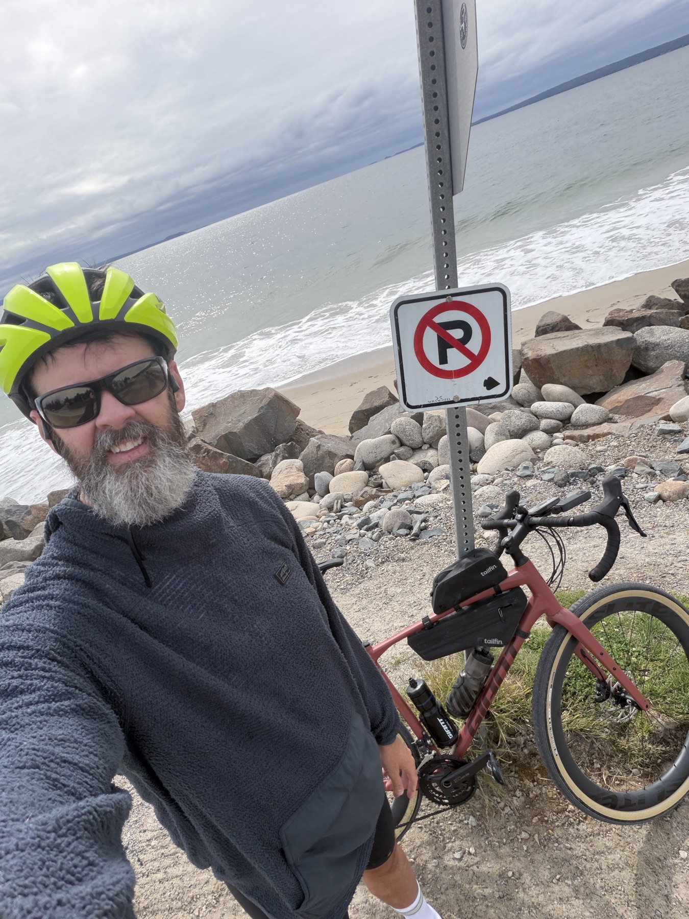
St. Margarets Bay Trail (Bike and Bean) to Queensland Beach
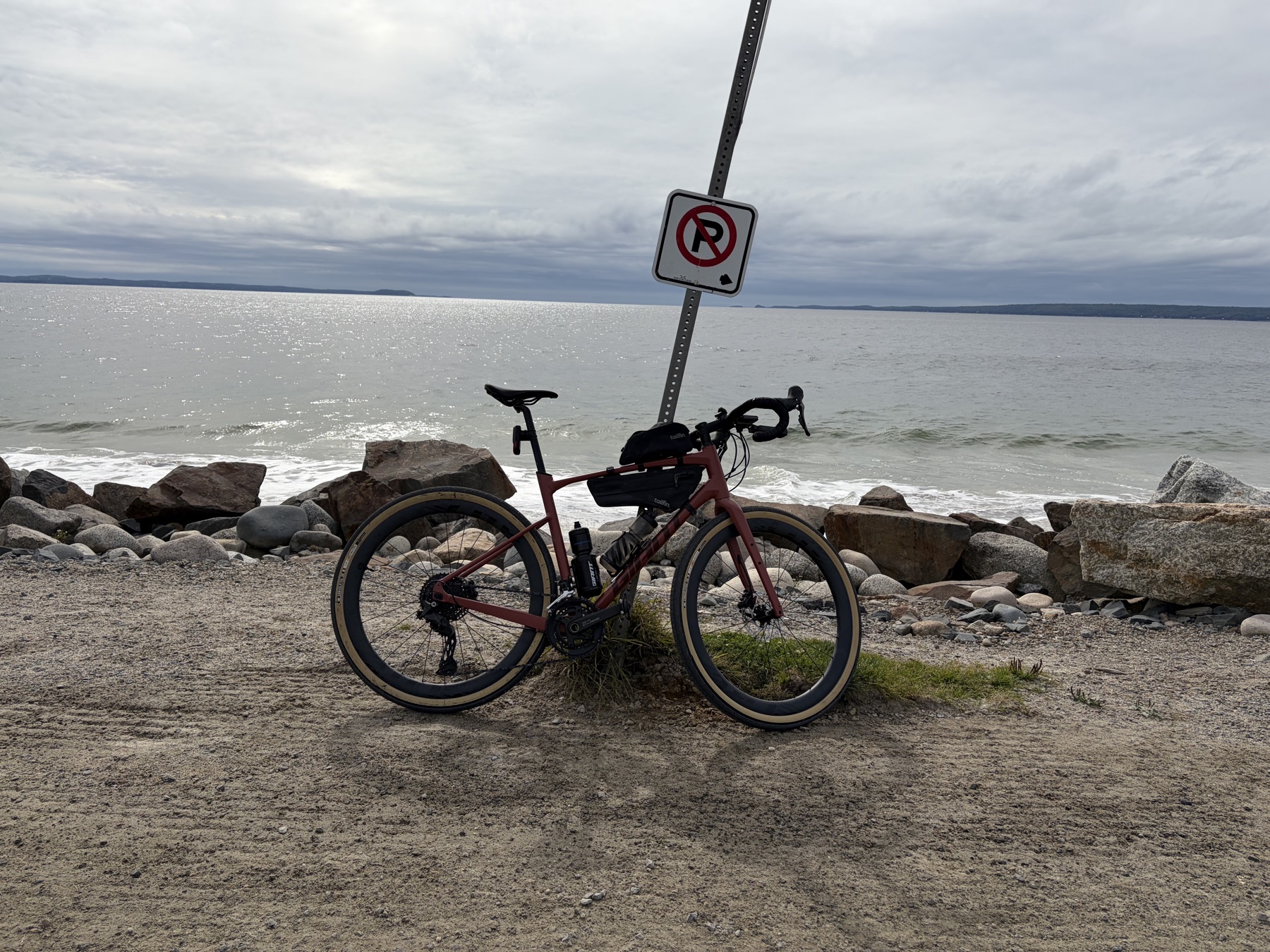
An easy 42 km out-and-back from the Bike and Bean in Upper Tantallon, Nova Scotia, to Queensland Beach on the St. Margarets Bay Trail. Right on the water.
Who doesn't love the sound of crashing waves?
Conditions on the day
September 26, 2026cool day, wore a light sweater overtop my kit
Why this ride
An easy spin from the Bike and Bean in Upper Tantallon out to Queensland Beach and back on the St. Margarets Bay Trail. Barely any climbing, and a lot of it runs right along the water.
Km by km
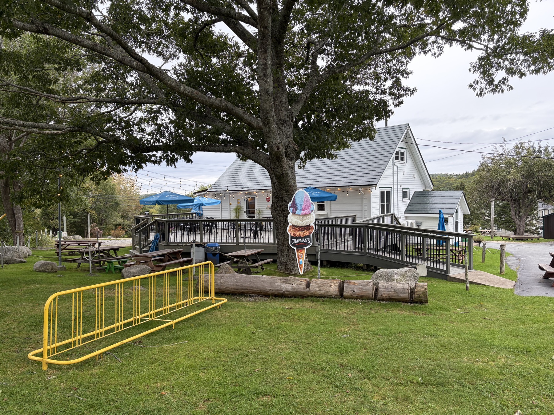
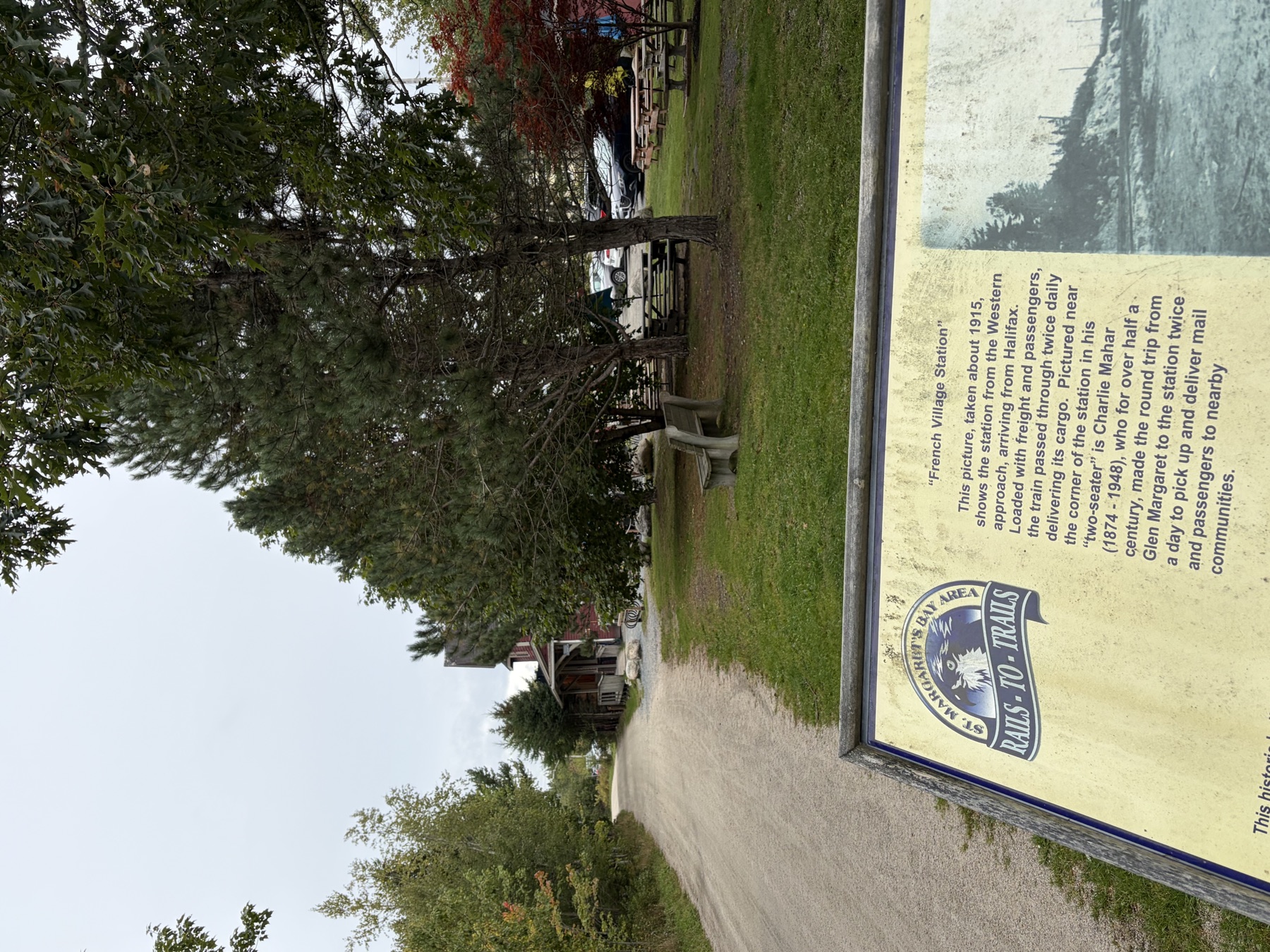
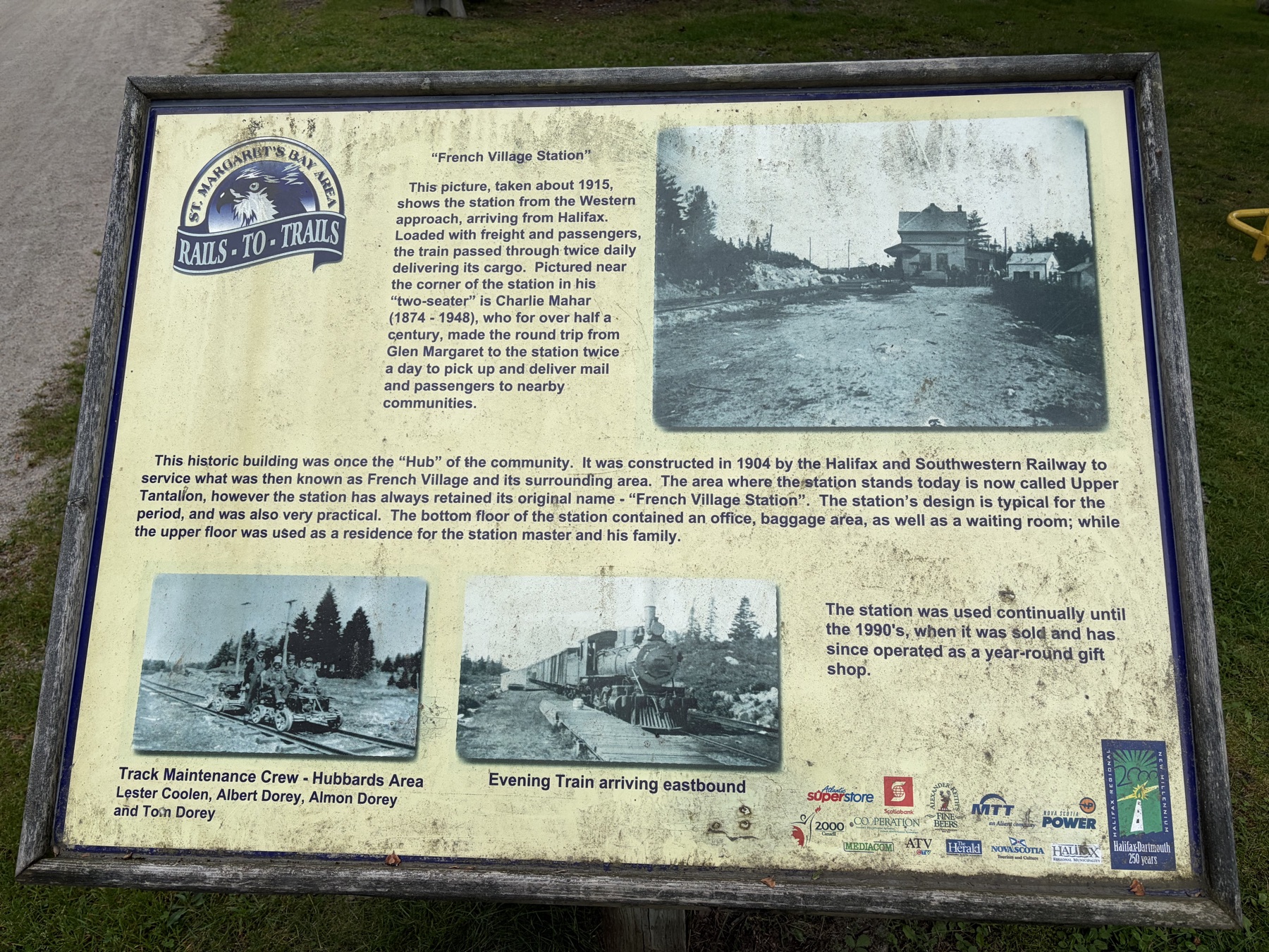
- km 0–3Bike and Bean, Upper TantallonStart at the Bike and Bean and head out on the St. Margarets Bay Trail. It loops north toward the 103 before swinging south.
- km 3–6Head of St. Margarets BayGentle downhill to the head of the bay, out by Todds Island.
- km 6–12Along the bayThe trail follows the water down the west side of the bay, dropping almost to sea level around km 9–10. Flat and fast, and I was cruising at about 27–29 km/h here. Keep left where the trail forks at km 9.3.
- km 12–15Around the inlet to IngramportThe trail runs up to the top of the inlet near the 103 exit, then back down the other side to Ingramport.
- km 15–18Black Point, The Puddle and QueenslandRight along the shore past Black Point and The Puddle into Queensland.
- km 18–21Queensland to Queensland BeachA small rise, then the fastest bit of the day (35 km/h) dropping toward the beach around km 20.5. At km 20.8 you leave the trail for St. Margarets Bay Road and Conrads Road down to the beach.
- km 21.2Queensland BeachThe turnaround. I hung out for about 6 minutes before heading back, then took Queensland Lane back up to the trail.
- km 21–42Back the same waySame trail back to the Bike and Bean. Keep left at the fork around km 33.
Surface & tire call
Rail trail the whole way, and you can hold 25+ km/h without thinking about it. This is the ride my 45 mm GravelKing SS R semi-slicks were made for, the opposite of Old Coach Road.
Watch out for
- The road bit at the beach. To reach Queensland Beach you leave the trail for about 800 m on St. Margarets Bay Road (Trunk 3), Conrads Road and Queensland Lane, so keep an eye out for cars.
- Horses. Yes, really. Slow down and give them room.
People out walking dogs, ATVs etc plenty of room on the trail make sure to have a bell for warnings.
The St. Margarets Bay Trail keeps going west past Queensland, so you can make this longer, or turn around at Head of St. Margarets Bay for a short spin.
Photos